Walk the southern slope of Little Round Top today, and you are not simply standing on ground where men fought. You are standing inside an archive. Each granite shaft and bronze plaque was placed by the survivors themselves, often decades after the smoke cleared, with a precision that modern terrain analysis has only begun to fully appreciate. These are not abstract memorials to a distant cause. They are veteran-verified coordinate markers, anchored to the exact lines where regiments held, broke, or charged on the afternoon of July 2, 1863.
Contents
- Introduction to the Memorial Landscape
- The Tactical Purpose of Battlefield Memorialization
- Key Regimental Markers and Terrain Integration
- Scope and Limitations of the Monument Record
- Academic Sources
Introduction to the Memorial Landscape
Little Round Top occupied a position on the Union left flank that commanders on both sides understood to be decisive. Whoever held this rocky eminence could enfilade the entire Federal line stretched along Cemetery Ridge. The fighting that consumed the hill during the second day at Gettysburg produced some of the most studied small-unit engagements of the entire war.
What followed the battle, however, transformed the hill into something the soldiers could never have anticipated while they were dying on it.
Beginning in the first wave of veteran placements between 1878 and 1889, survivors returned to the slopes to mark where their regiments had stood. Modern terrain analysis now integrates these monument pedestals as primary source data points, shifting away from viewing them purely as commemorative art. The granite base of a regimental monument functions, in effect, as a coordinate marker certified by the men who held that exact patch of ground. To read the hill correctly, you must learn to read the stones.
The Tactical Purpose of Battlefield Memorialization
The transformation of Little Round Top from a raw battlefield into a preserved historical record did not happen by accident. It was governed by deliberate policy, and that policy is what makes the monuments useful to researchers rather than merely decorative.

By the 1890s, the War Department had imposed strict guidelines on where and how monuments could be erected. Veteran associations could not place their markers wherever sentiment or convenience suggested. The regulations required that monuments stand on the regiment's actual line of battle, a rule that bound commemoration to documented fact and gave the resulting landscape its evidentiary weight.
Engineering for Permanence
The 1893 War Department regulations also addressed the physical durability of the markers. Foundations were required to extend below the frost line, typically 36 to 48 inches deep, to prevent the heave of New England-style winters from tilting the stones over the decades. The regulations mandated durable materials as well, including Westerly granite and standard bronze alloys chosen specifically to withstand the elements.
These choices were not aesthetic. They were intended to permanently anchor the historical record, so that a monument set in 1889 would still mark the same coordinate a century later.
It is worth noting that the Gettysburg National Park Commission initially considered standardizing all regimental markers to a uniform block design. The commission abandoned this approach, choosing instead to allow veteran associations to select their own forms. That decision preserved a great deal of individual character at the cost of visual consistency, and it shaped the eclectic landscape visitors encounter today.
Key Regimental Markers and Terrain Integration
Two monuments on Little Round Top illustrate how veterans married commemoration to the unforgiving topography of the hill. They reward close study because their placement reflects genuine tactical decisions rather than convenience.
The 20th Maine on the Military Crest
The 20th Maine monument was positioned specifically on the military crest of the southern slope rather than the topographical summit. This distinction matters enormously. The military crest is the line from which defenders can actually observe and fire down the slope, whereas the true summit often leaves a blind angle below. By marking the military crest, the survivors of the 20th Maine recorded where they truly fought, defending the extreme left of the Union line against repeated Confederate assaults.
The 140th New York and Paddy O'Rorke
The story of the 140th New York is told as much by the base of their monument as by its inscription. Veterans of the regiment deliberately anchored the monument's base directly into the existing diabase boulders rather than leveling the ground. The bronze relief of Colonel Patrick "Paddy" O'Rorke, who fell leading the regiment's counterattack, faces the line of advance, integrating the marker into the very rocks the men scrambled over during their desperate descent.
This refusal to flatten the terrain preserved the sudden, improvised character of their charge. The monument does not stand on a manicured pedestal. It clings to the hill the way the regiment did.
How the Rock Dictated the Base
The diabase geology of Little Round Top forced unusual engineering throughout. Many monuments here required asymmetrical granite bases, carved to match the 10 to 15-degree slope inclines of the hill's western face. The depth of monument foundations varied as well, dictated by the presence of subsurface diabase outcroppings. Where solid rock lay near the surface, builders adapted rather than excavating to the standard depth. The terrain, in short, shaped the monuments as surely as it had shaped the battle.
Scope and Limitations of the Monument Record
The monument landscape is a powerful archive, but it is an incomplete one, and any serious researcher must reckon with its biases before drawing conclusions from it.
The first and largest distortion is the heavy bias toward Union forces. Early preservation efforts were driven by Northern veteran associations, and the initial dedication wave of the 1880s and 1890s excluded Confederate markers from the main Union battle lines entirely. The hill, as memorialized, tells the Federal story far more completely than the Confederate one.
A second distortion arises from money. Monument heights range from simple 24-inch flank markers to elaborate structures exceeding 20 feet, and these differences reflect post-war fundraising capacity at least as much as battlefield significance. Well-funded veteran associations could purchase massive, multi-tiered granite monuments, while regiments of equal valor and heavier losses sometimes settled for modest stones.
Caution: Do not assume that a massive monument correlates to a regiment's tactical significance or casualty rate. Monument size frequently reflects post-war fundraising capabilities rather than what happened on July 2, 1863.
Main Point: Monument placement should never serve as the sole source for reconstructing troop alignments. Cross-reference every position against the Official Records before drawing tactical conclusions. Relying on monument placement to reconstruct alignments is inherently flawed for Confederate positions on Little Round Top, since early park regulations restricted their markers to the avenues of deployment rather than their furthest points of advance.
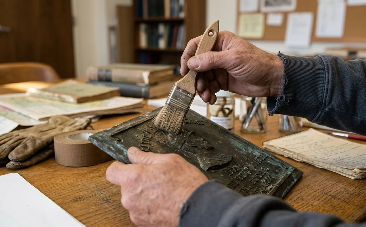
For details on how these markers are maintained and documented today, the National Park Service monument preservation records remain the authoritative reference.